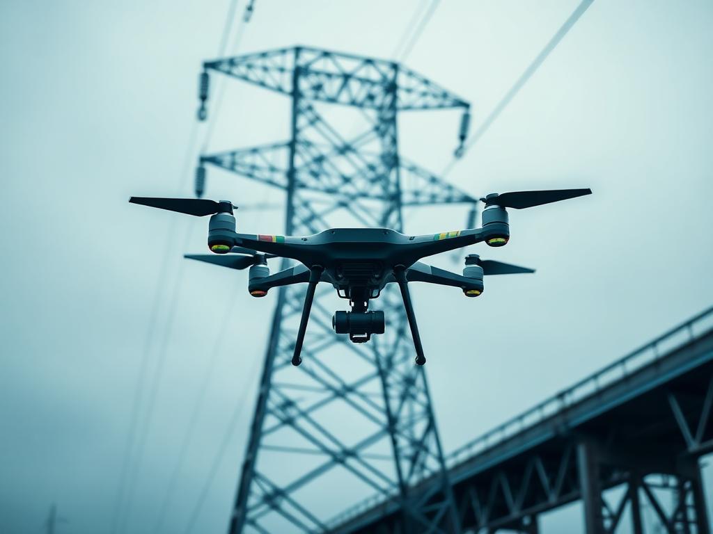
Infrastructure Inspection
Power lines, bridges, pipelines, roads, railways, towers, and other large infrastructure networks.
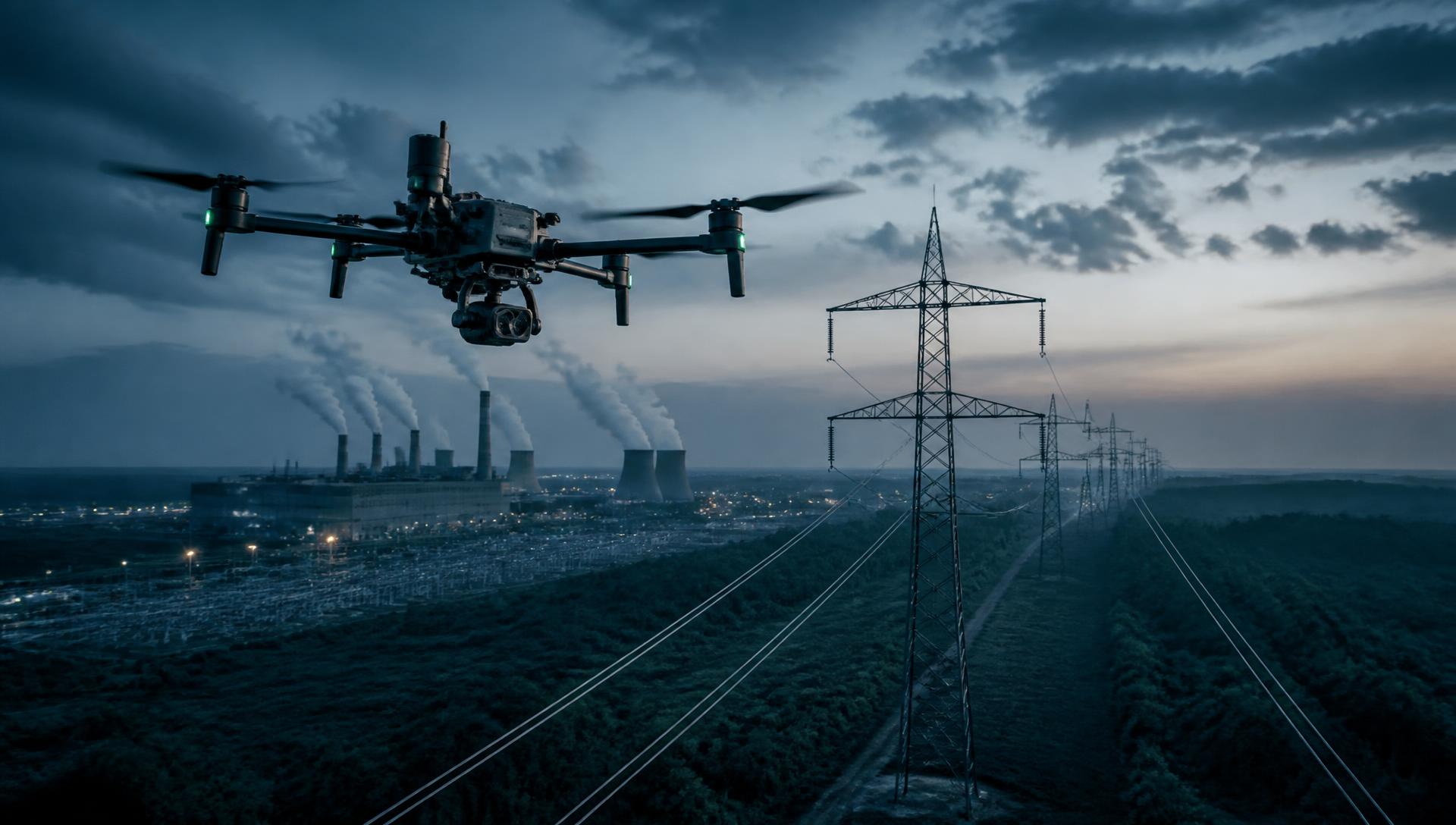
Enterprise / BVLOS
Unlock longer-range, more efficient drone operations with Beyond Visual Line of Sight (BVLOS) technology and enterprise drone solutions.
BVLOS operations allow drones to operate beyond the pilot's direct visual range, opening new possibilities for infrastructure inspections, public safety, surveying, agriculture, security, and large-scale industrial operations.
Definition
BVLOS stands for Beyond Visual Line of Sight. Unlike traditional drone operations where the pilot must maintain direct visual contact with the aircraft, BVLOS operations allow an aircraft to operate beyond the pilot's normal visual range when the appropriate technology, procedures, risk controls, and regulatory approvals are in place.
BVLOS can significantly expand the distance and area a drone can cover, making drone technology more practical for large-scale commercial and industrial operations.
Pilot maintains direct visual contact with the aircraft.
Command, control and monitoring extend the operational envelope.
Why it matters
BVLOS can help organizations move from short-range drone flights to scalable aerial operations.
Cover larger areas and longer routes without requiring the pilot to maintain direct visual contact with the aircraft.
Reduce the need to repeatedly relocate pilots and equipment across large inspection or survey areas.
Use advanced flight planning, communications, monitoring, and risk-management systems to support complex missions.
Build drone programs that can support recurring inspections, monitoring, mapping, and other enterprise workflows.
Enable appropriately authorized missions to be monitored and managed from centralized locations.
Combine BVLOS operations with autonomous flight systems, remote monitoring, drone docks, and enterprise software.
Applications
Long-range aerial data collection supports industries that operate across wide areas and dispersed assets.
Power lines, bridges, pipelines, roads, railways, towers, and other large infrastructure networks.
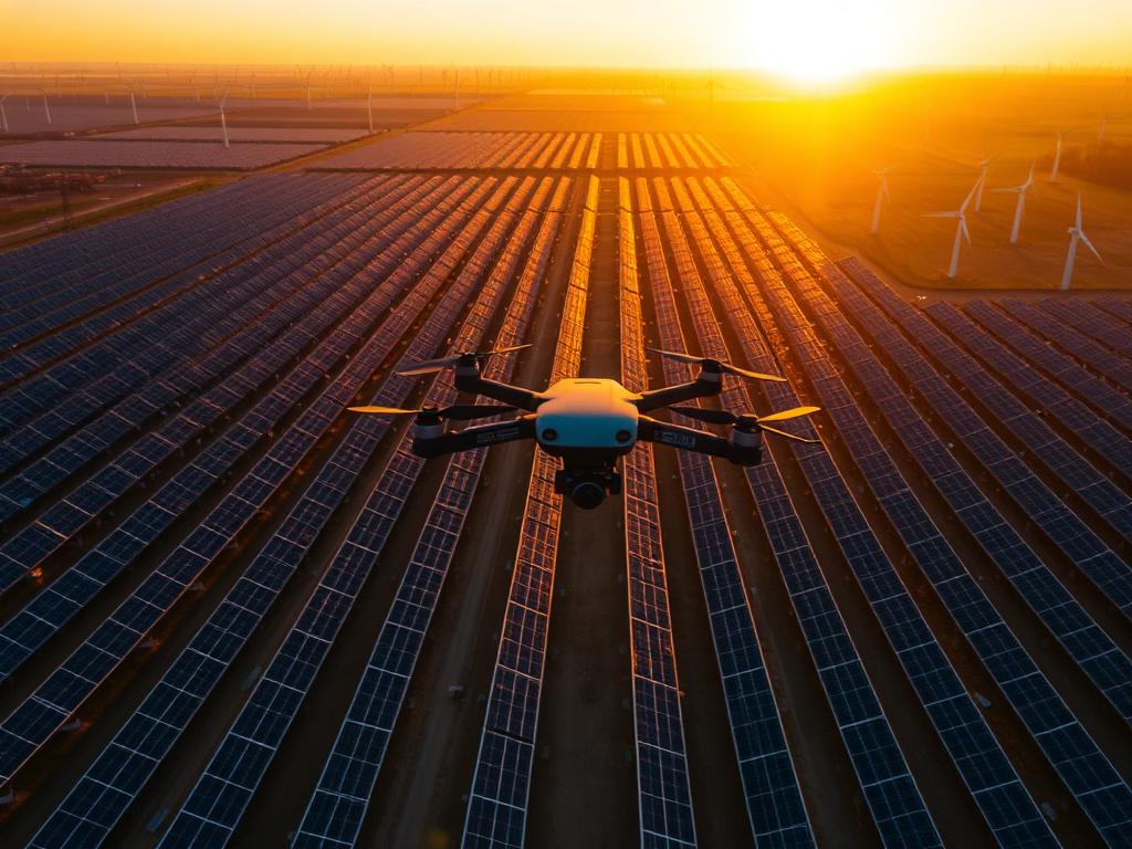
Monitor extensive utility corridors, solar farms, wind farms, substations, and other energy assets.
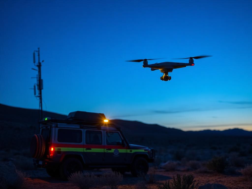
Support search and rescue, emergency response, situational awareness, and large-area monitoring.
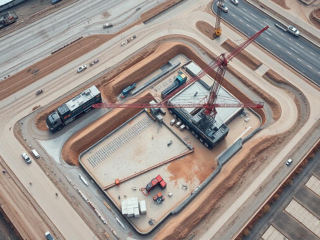
Collect aerial data across large construction sites, infrastructure projects, and development areas.
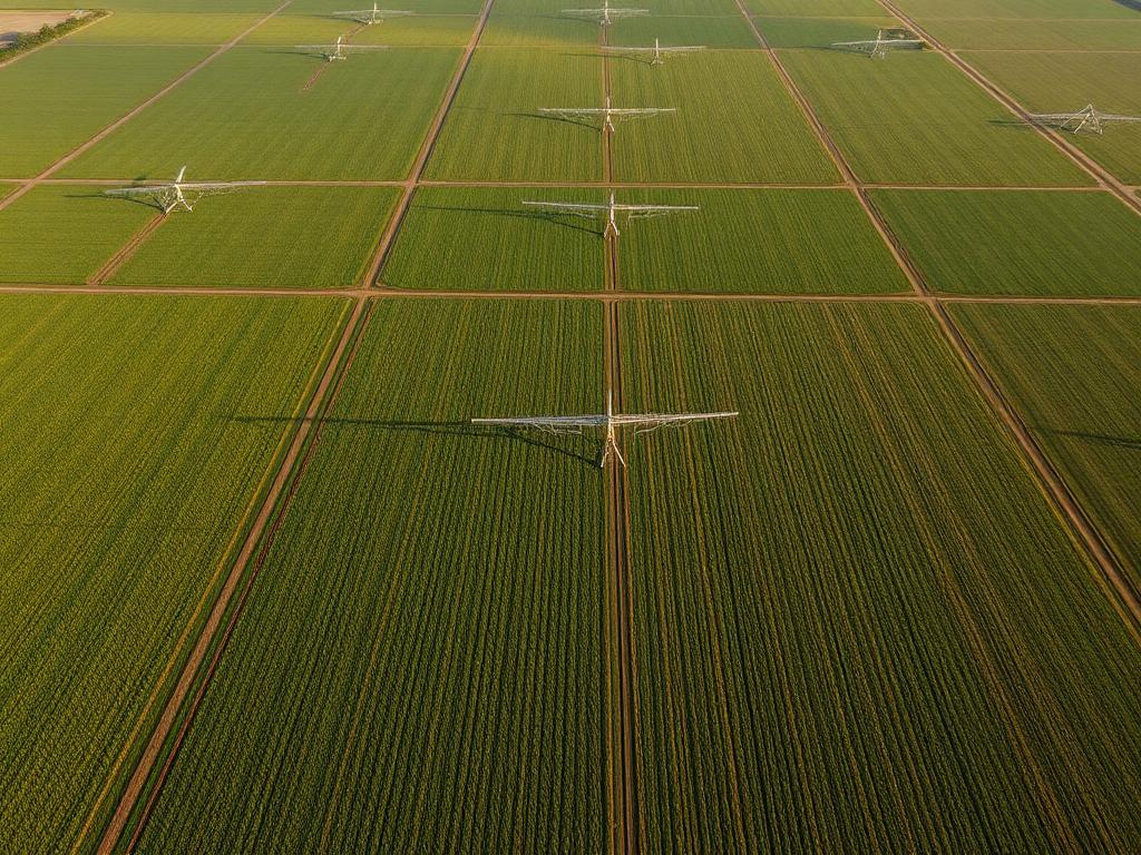
Monitor large agricultural properties and collect aerial data across extensive areas.
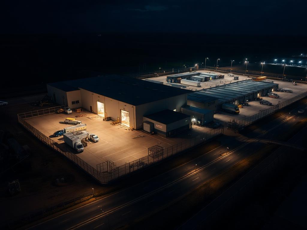
Support large-area surveillance and recurring monitoring operations where legally and operationally appropriate.
Operational framework
BVLOS is more than simply flying a drone farther away. Successful BVLOS operations require the right combination of aircraft, communication systems, software, procedures, risk management, and regulatory compliance.
Define the operational area, mission objectives, routes, and risks.
Select an enterprise aircraft and payload appropriate for the mission.
Establish reliable communication and telemetry systems.
Use appropriate systems and procedures to manage potential conflicts with other aircraft and obstacles.
Monitor aircraft status, mission progress, and operational conditions.
Ensure the operation meets applicable aviation regulations and authorization requirements.
No aircraft is automatically approved for BVLOS, and authorization is never guaranteed. BVLOS operations are subject to applicable aviation regulations, authorization requirements, and operational conditions that vary by country and by operation.
Drone Doctor
From selecting the right aircraft to building a scalable enterprise drone program, Drone Doctor helps organizations evaluate the equipment, technology, and operational requirements needed for advanced drone operations.
Our enterprise solutions can include
Autonomy
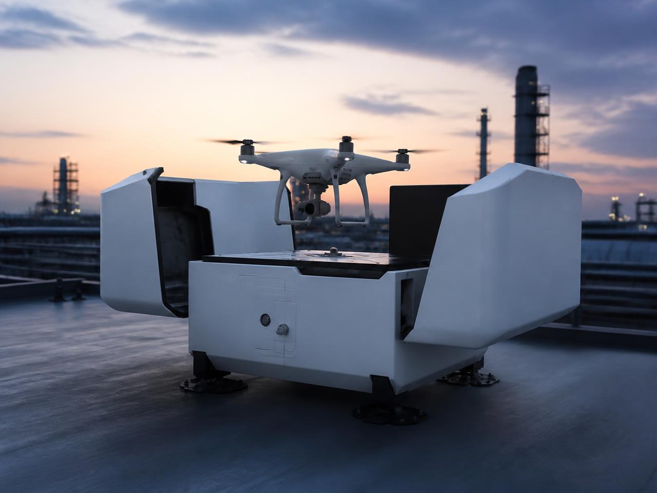
Advanced drone programs increasingly pair long-range operations with autonomous systems. Technologies such as drone docks can support remotely managed, repeatable missions and reduce the need for personnel to be physically present at the launch location.
Drone Doctor supplies enterprise aircraft, dock systems, payloads and supporting software that organizations can evaluate as part of a remote or automated operation. Each deployment still depends on the operating environment, connectivity, procedures, and the approvals that apply to it.
Technology
Enterprise platforms and supporting technology available through Drone Doctor for organizations planning long-range and remotely managed drone programs.
Flagship enterprise airframes for inspection, mapping and public safety missions with modular payload support.
Automated docking stations for remotely managed, repeatable missions at fixed sites.
Radiometric thermal imaging for utilities, energy assets, search operations and building envelopes.
Photogrammetry and LiDAR-ready aircraft for large-area survey, volumetrics and site documentation.
Zoom, wide, thermal, laser rangefinder, LiDAR, loudspeaker and spotlight payload options.
Ground stations, relay and telemetry hardware, and fleet management software for centralized operations.
Inclusion of a platform here does not imply that it is authorized or approved for BVLOS operations. Suitability depends on the aircraft, systems, environment, procedures and the regulatory requirements that apply to your operation.
FAQ
Get started
Whether you're planning infrastructure inspections, remote monitoring, public safety operations, surveying, or another large-scale drone application, Drone Doctor can help you evaluate the technology needed for your next-generation drone program.